Directions
Our address
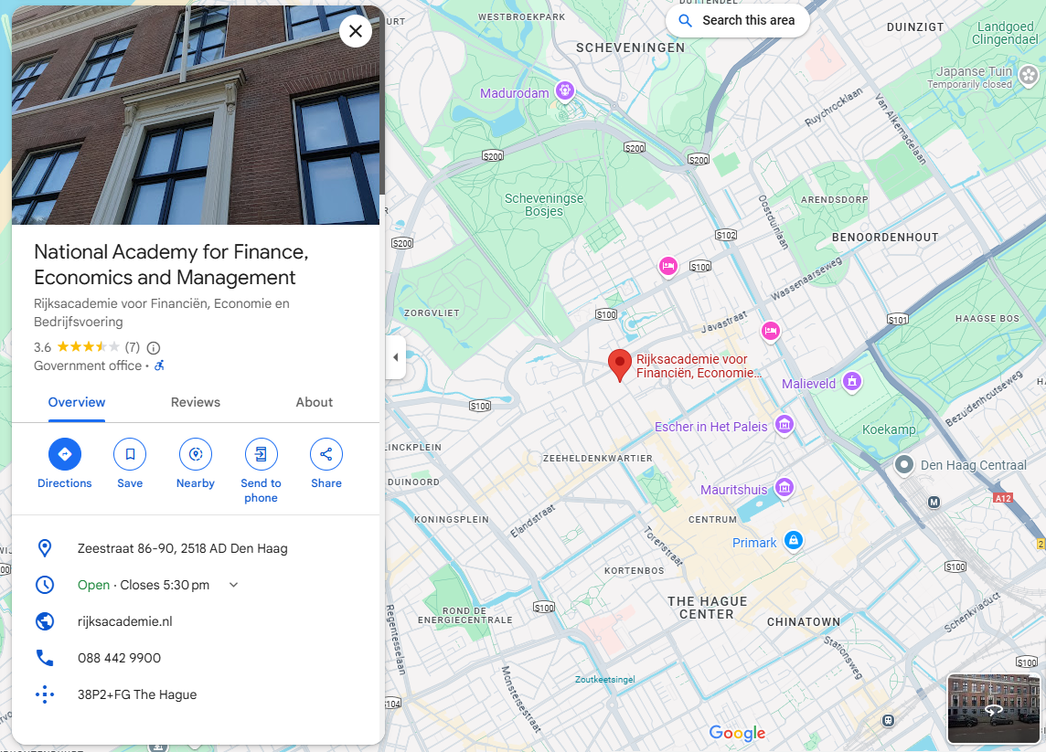
National Academy for Finance and Economics
Zeestraat 86-90
2518 AD The Hague
Public Transport from The Hague Central Station
Bus line 28 (direction Zuiderstrand) or Bus line 24 (direction Kijkduin) from the bus platform above the station (direct service, plan your trip here).
Get off at stop Alexanderplein, 3 minutes’ walk.
Public Transport from The Hague Hollands Spoor
Tram line 1 (direction Scheveningen Noorderstrand (direct service, plan your trip here).
Get off at stop Javastraat, 4 minutes’ walk.
Driving Directions
- Drive into The Hague following the A12 highway:
- At the end of the A12, turn left at the traffic lights onto Zuid Hollandlaan;
- Turn right at the next traffic lights onto Koningskade;
- ATTENTION Take the separate lane to the right, direction “Medisch Centrum Haaglanden”;
- After this, turn left onto Maurtiskade;
- After ca. 500 meters turn right onto Zeestraat;
- After ca. 250 meters the National Academy is on your left hand.
Geografic coordinates
When using GPS-navigation, you can use these coordinates to reach us: N 52005’16.9 E 4018’08.7